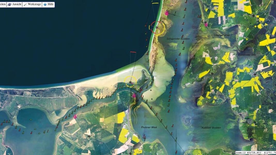
The idea is modelled on Open Streetmap: For some years now, their street maps have reached an astonishingly high level, thanks to more than a million volunteers who collect GPS data free of charge and thus help to make maps ever more accurate.
Now the Open Seamap project community wants to repeat the same success story for a global electronic nautical chart. It has been endeavouring to collect data from water sports enthusiasts for several years, but still lacks the necessary amount of data for reasonable depth information. But there are also positive things to report: Sea marks have now been entered, and the first depth data should follow soon thanks to the support of the hydrographic offices.
What can the online map already do today, what is planned, what is the timetable? A detailed story on the status of the project, its technical aspects and an interview with Markus Bärlocher, one of the initiators, now in the new YACHT No. 23.
